These few Greek Islands are the most Eastern point of Greece: (KASTELLORIZO, RO, STRONGYLI, etc) lie 2 kilometers (1 mile) off the south coast of Turkey, approximately 350 miles southeast of Athens, 70 miles east of Rhodes, and 170 miles from Cyprus. Kastellorizo (Megisti) it is inhabited and is part of the regional unit of Rhodes. The official name of the island is Megisti, and means "the largest" of the group, with only 12 km2 of surface.
Map of Athens & Piraeus Port
Satellite Map of Attica & Athens City

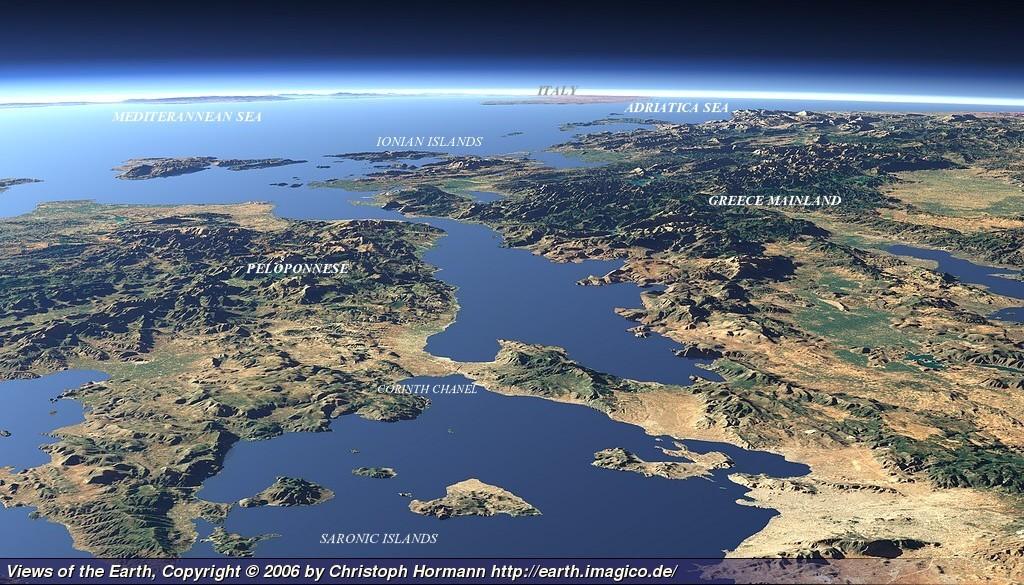

Satellite view of Greece (cklic over)


