Satellite map of Ionian Islands.

   
Greece-S satellite view Greece-E satellite view Greece-N satellite view
Satellite view of Greece (cklic over)
Flag FR     Flag GR 

Greece & Greek Islands Satellite Google Map

Map of 'Ionian Islands' - West of Greece

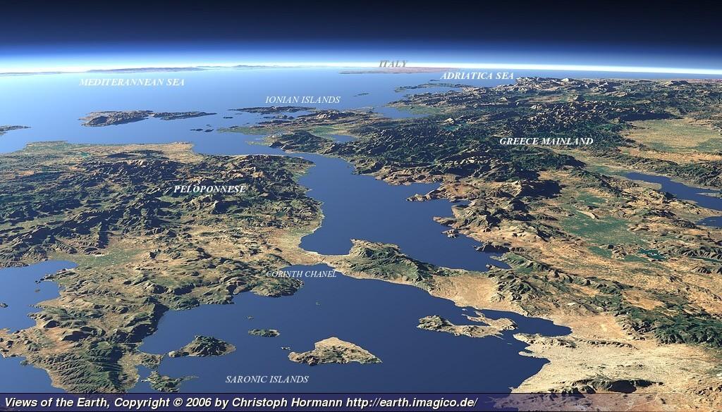
They are traditionally called the Heptanese, "the Seven Islands" (Greek: Heptanēsa), but the group includes many smaller islands as well as the seven principal ones.  Most important inhabited: Corfu, Paxi, Antipaxi, Lefkada, Zakynthos, Cephalonia, Ithaki, Kastos.

Most important Ionian Islands: ZANTE (ZAKYNTHOS), ITHAKI, CORFU, CEPHALONIA, LEFKAS, PAXI, ANTIPAXI, ERIKOUSSA, MANDRAKI, MEGANISSI, KALAMOS, OTHONI, STROFADES, ELAFONISSOS, SAPIENTZA, as well the islands South of  Peloponnese  KYTHERA & ANTI-KYTHERA.

Discover the Greek Islands from Athens by a different way, and visit 5 islands /week (overnights): Short cruises / Day trips.
How to charter - s/y Atlantis 43 - Cabin charter - Naturist cruise
The Greek archipelago includes: more than 5.000 islands and islets, only 227 are inhabited.  Coastline ±12,900 kms of a national total of ±19,900 kms.

Satellite maps of Greec Islands / Name list:

This is  'Original Google Satellite Map'.  If you select 'view larger map' you will leave our website.