Satellite Map of Attica & Athens City

   
Greece-S satellite view Greece-E satellite view Greece-N satellite view
Satellite view of Greece (cklic over)
Flag FR     Flag GR 

Satellite Google Maps of Greece with Islands

Map of the Saronic Islands close of Athens

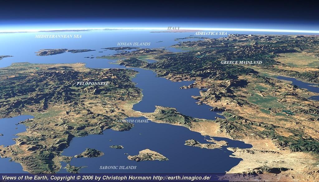
The Saronic islands in Greece, are part of the Aegean Sea and they are located between the peninsula of Attica and the north eastern coasts of Peloponnese. The main inhabited islands of this group are: Salamis (where the ancient navy battle of Salamis), Aegina, Agistri, Hydra, Dokos, Poros and Spetsae and on the mainland the ancient ports Hermione and Epidaurus (theater).

Discover the Greek Islands from Athens by a different way, and visit 5 islands /week (overnights): Short cruises / Day trips.
How to charter - s/y Atlantis 43 - Cabin charter - Naturist cruise
The Greek archipelago includes: more than 5.000 islands and islets, only 227 are inhabited.  Coastline ±12,900 kms of a national total of ±19,900 kms.

Satellite maps of Greec Islands / Name list:

This is  'Original Google Satellite Map'.  If you select 'view larger map' you will leave our website.